The Wicklow Way

KM 0 - Marlay Park, Dublin
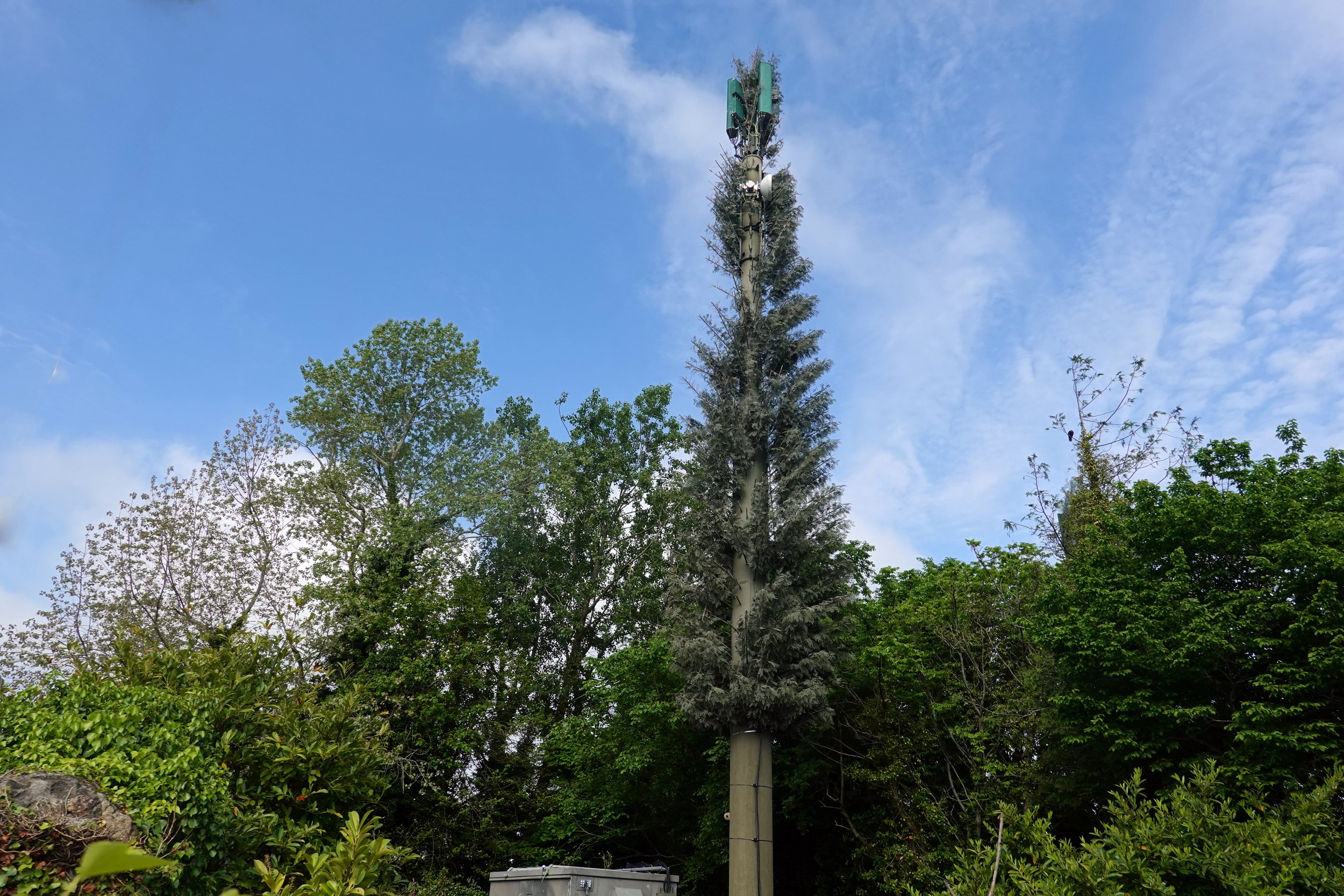
KM 1.7, Along the M50

KM 4.7, Kilmashogue Wood

KM 6.0, between Kilmashogue and Three Rock
KM 6.7, Wicklow Way at Dublin Mountains Way
KM 9.0, Ballybrack

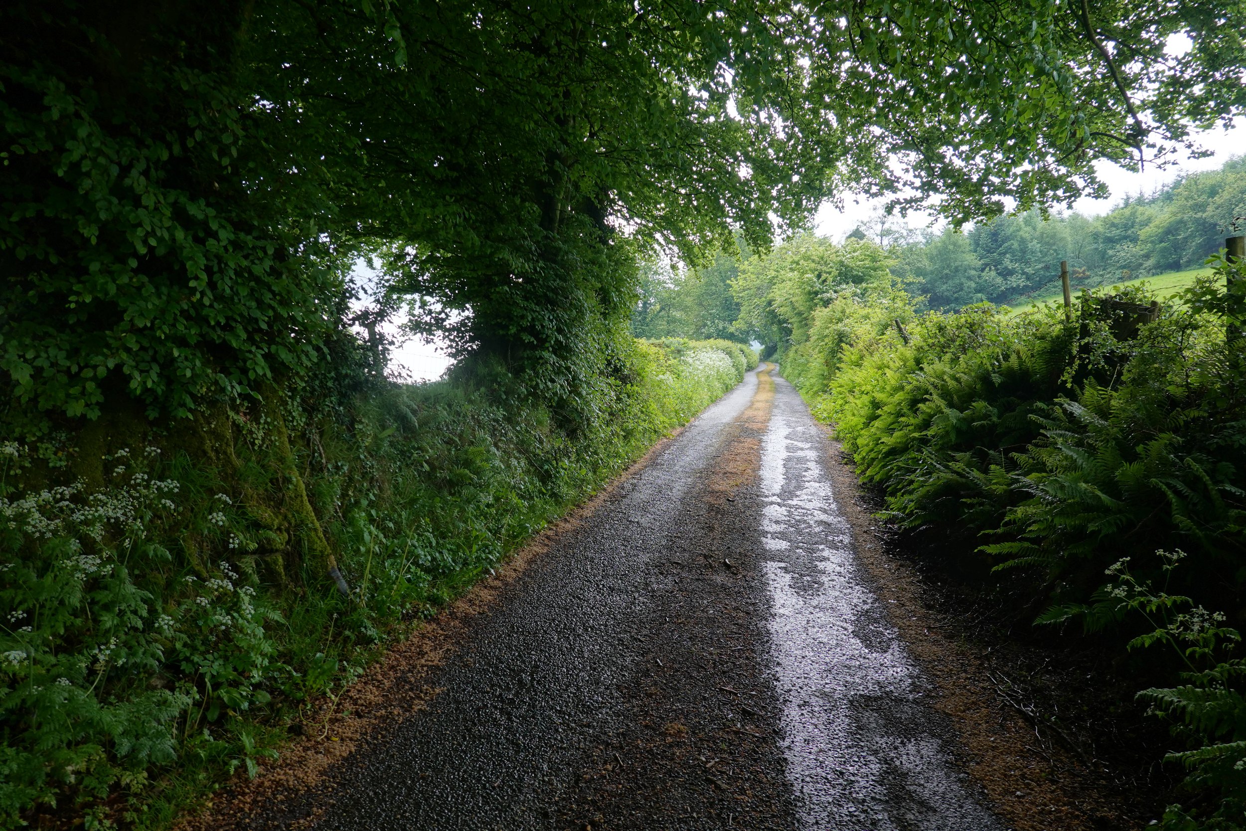
KM 10.9, Glencullen River

KM 26.5, River Dargle

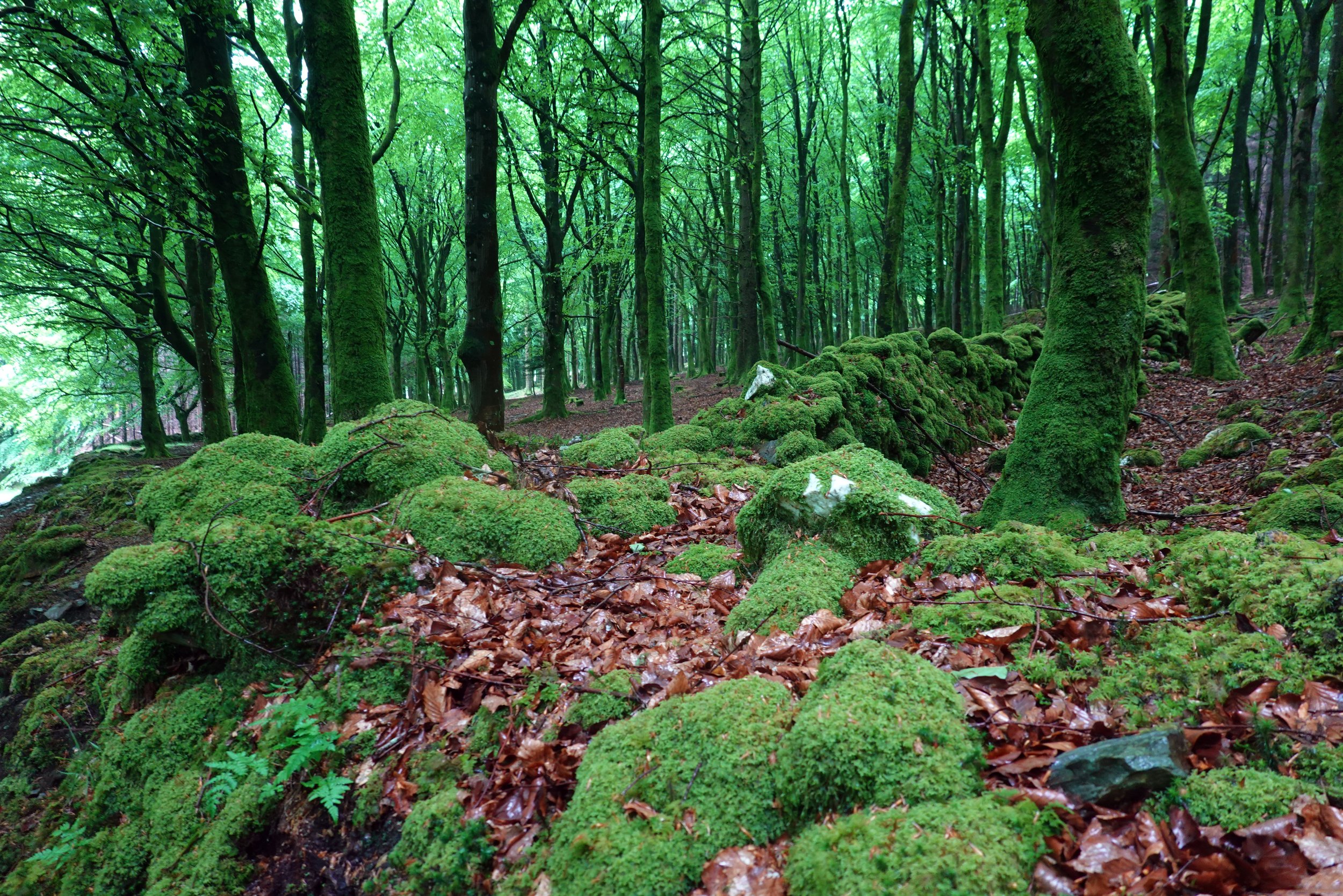
KM 33.5, Ballinastoe Wood

KM 38.3, near Baltnanima

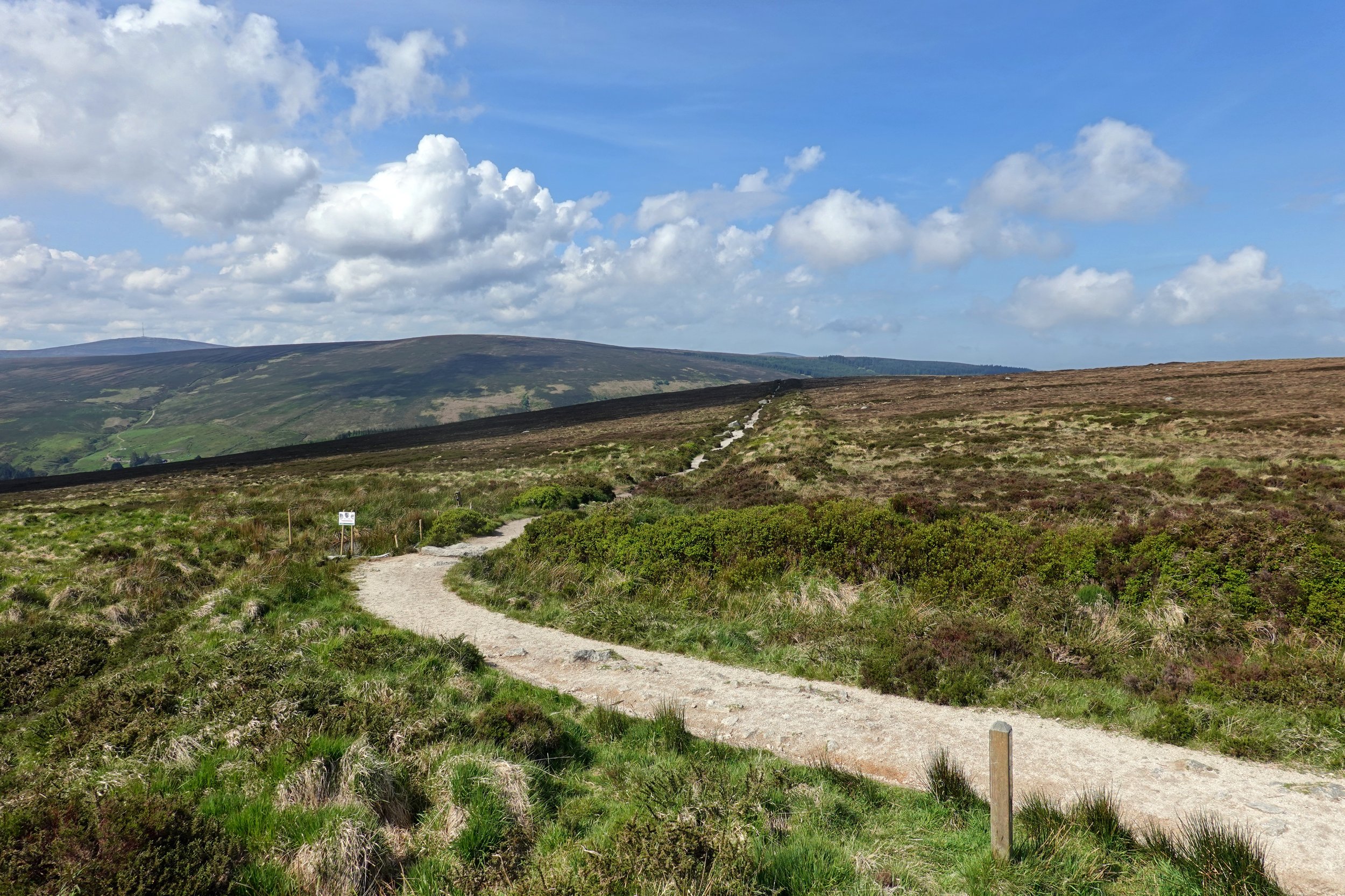
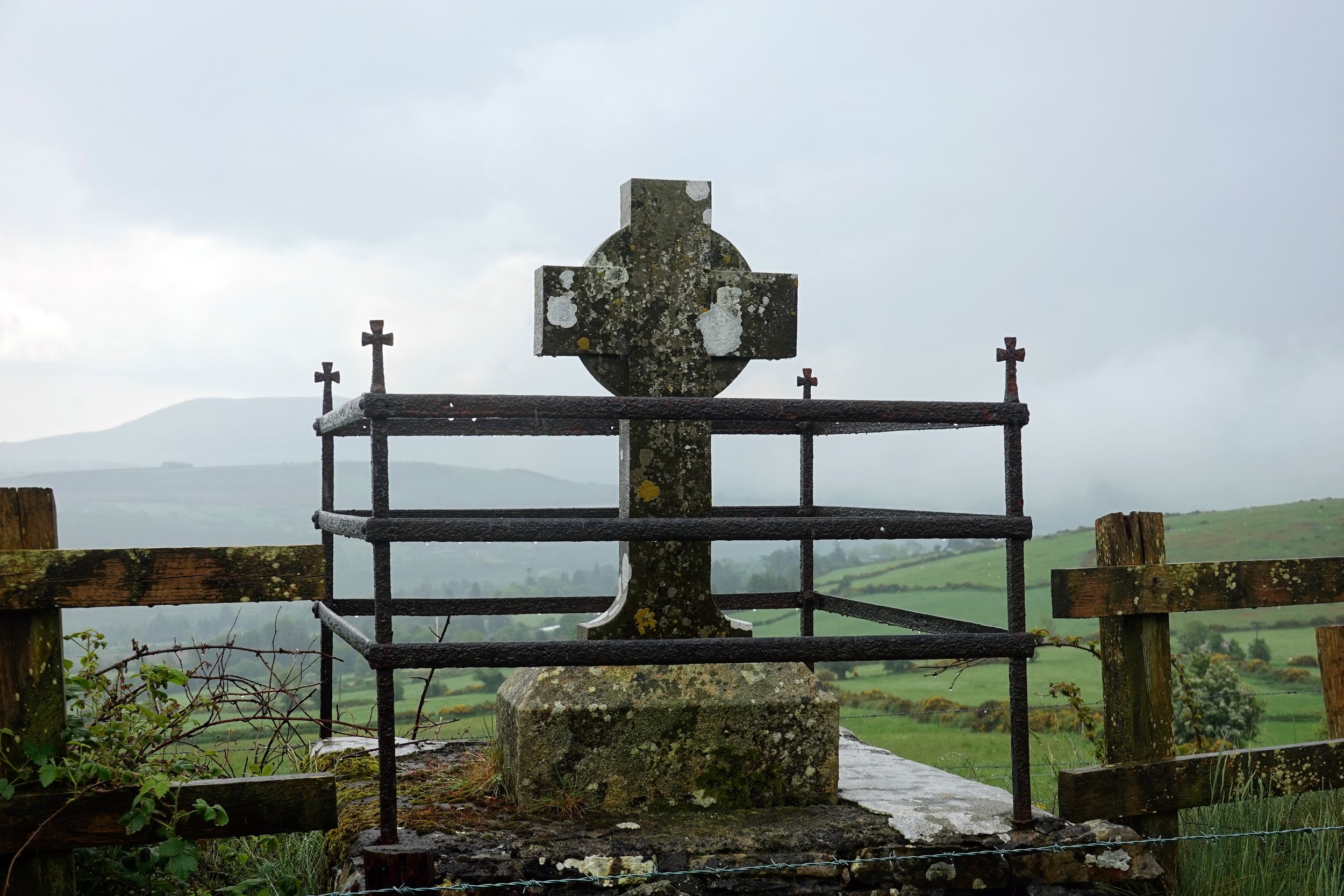
KM 42.2, Brusher Gap

KM 44.8, Paddock Hill

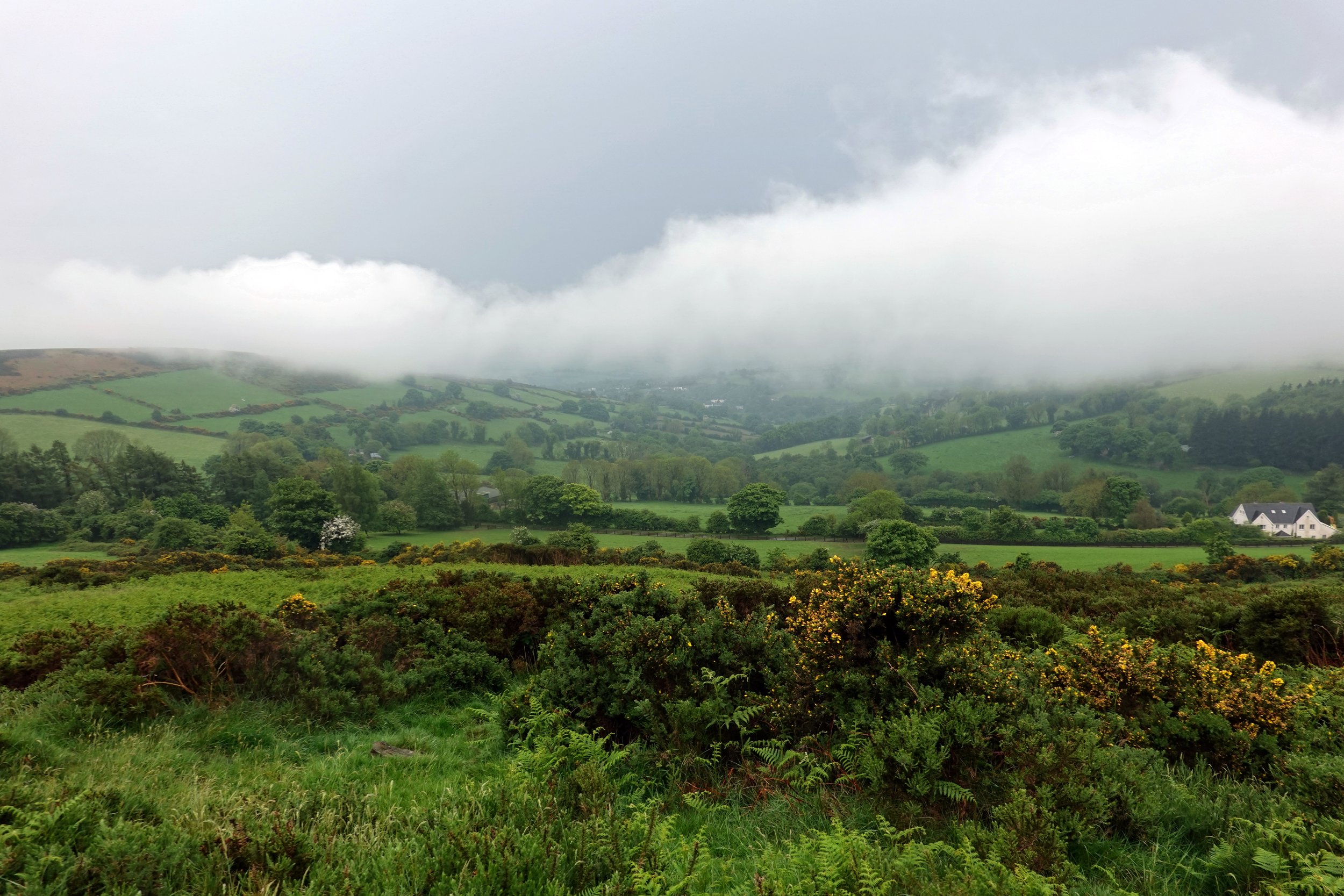
KM 48.7, Glenmacnass River
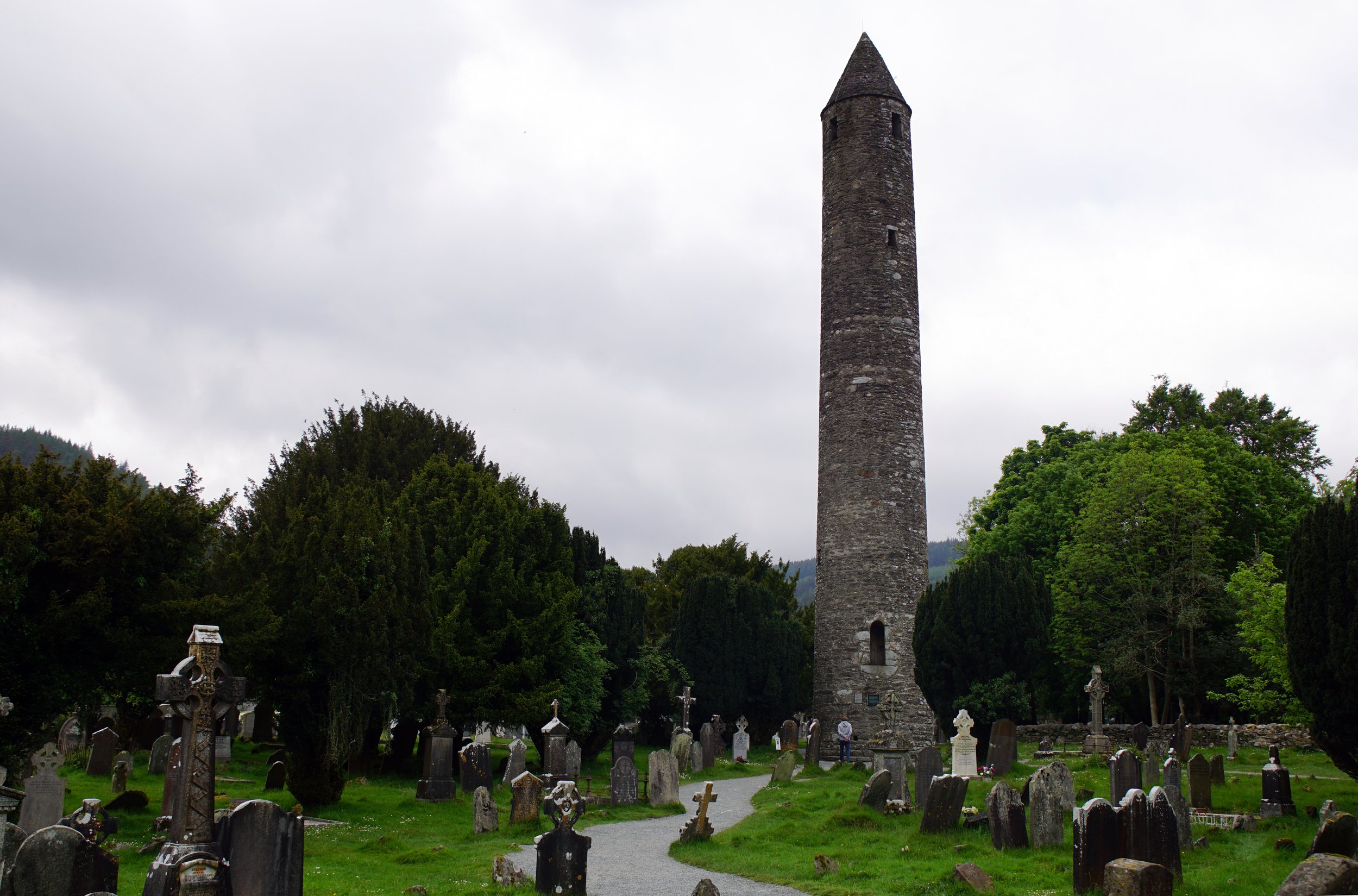
KM 50,2, Glendalough Monastic City
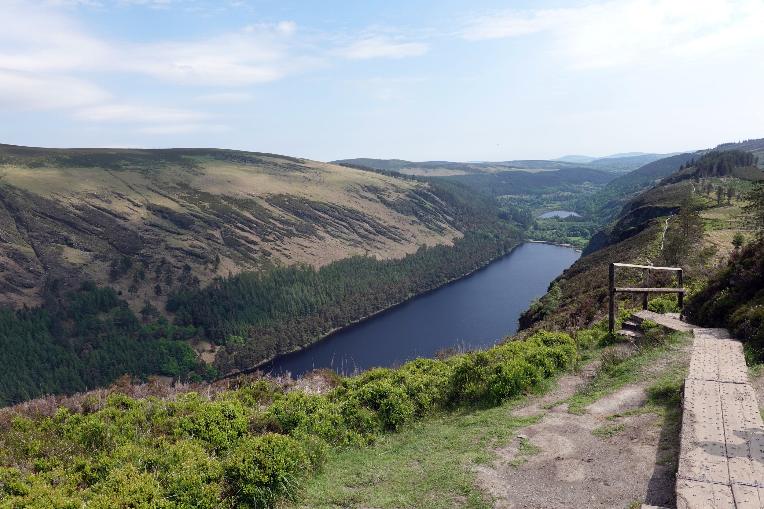
Spinc Trail, Upper Lake
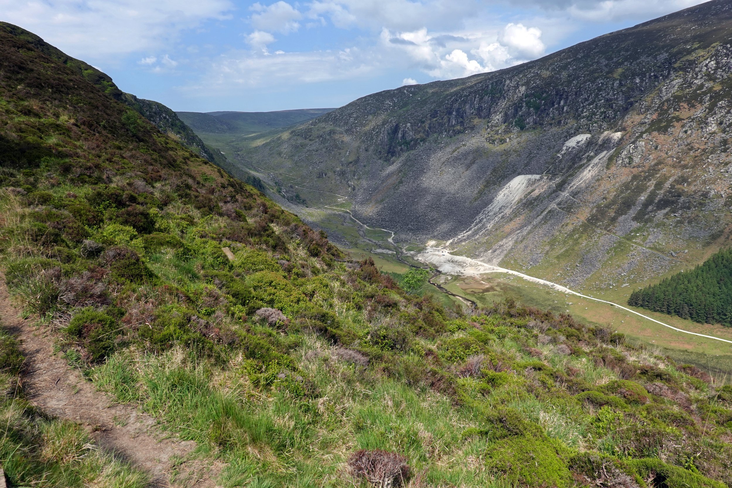
Spinc Trail, Glenealo Valley
Alpine Trail, near Wicklow Way KM 58.0
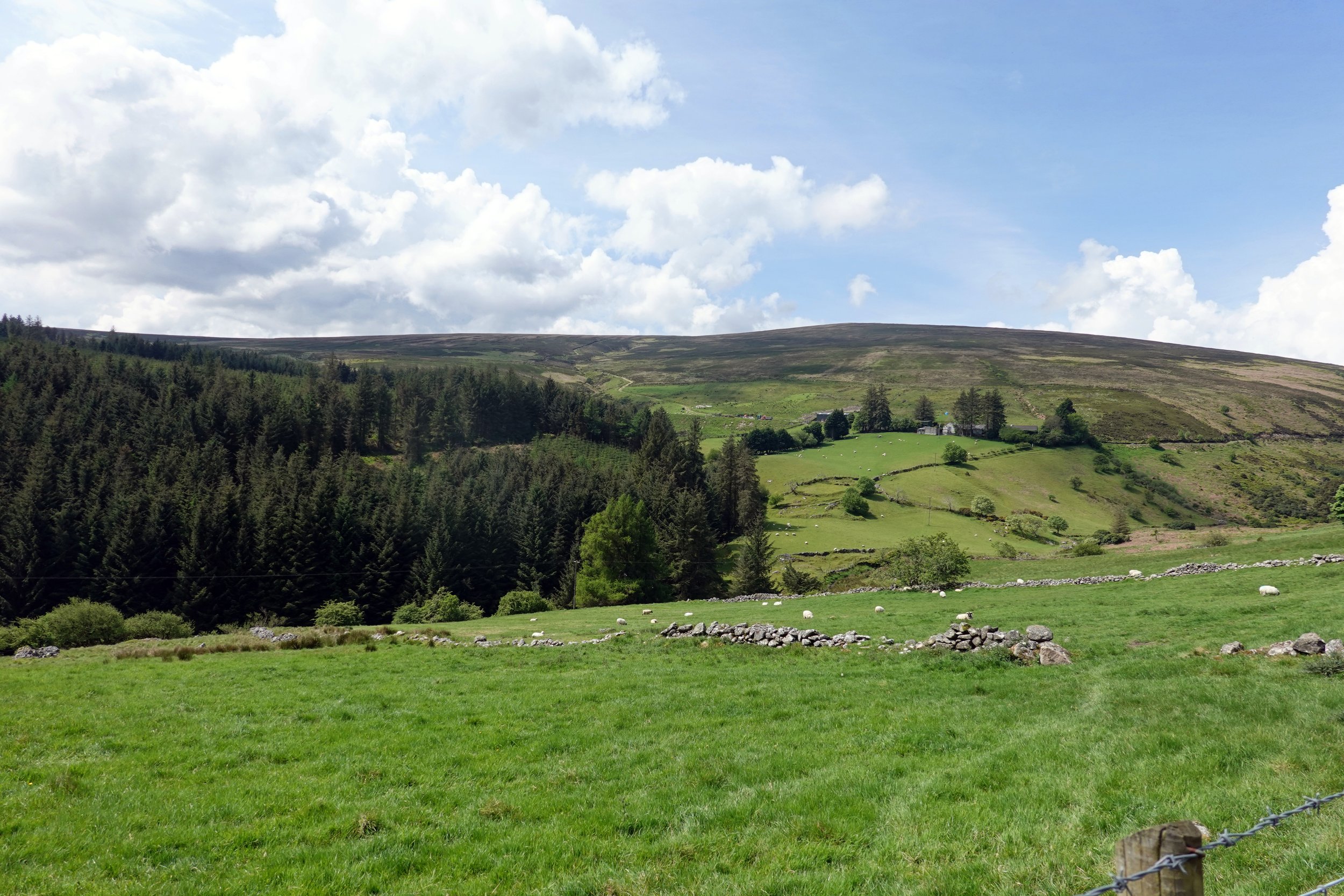
KM 62.5, Glenmalure

Near KM 63.9, Coolalingo Waterfall

KM 68.7, Drumgoff Forest Recreation Area
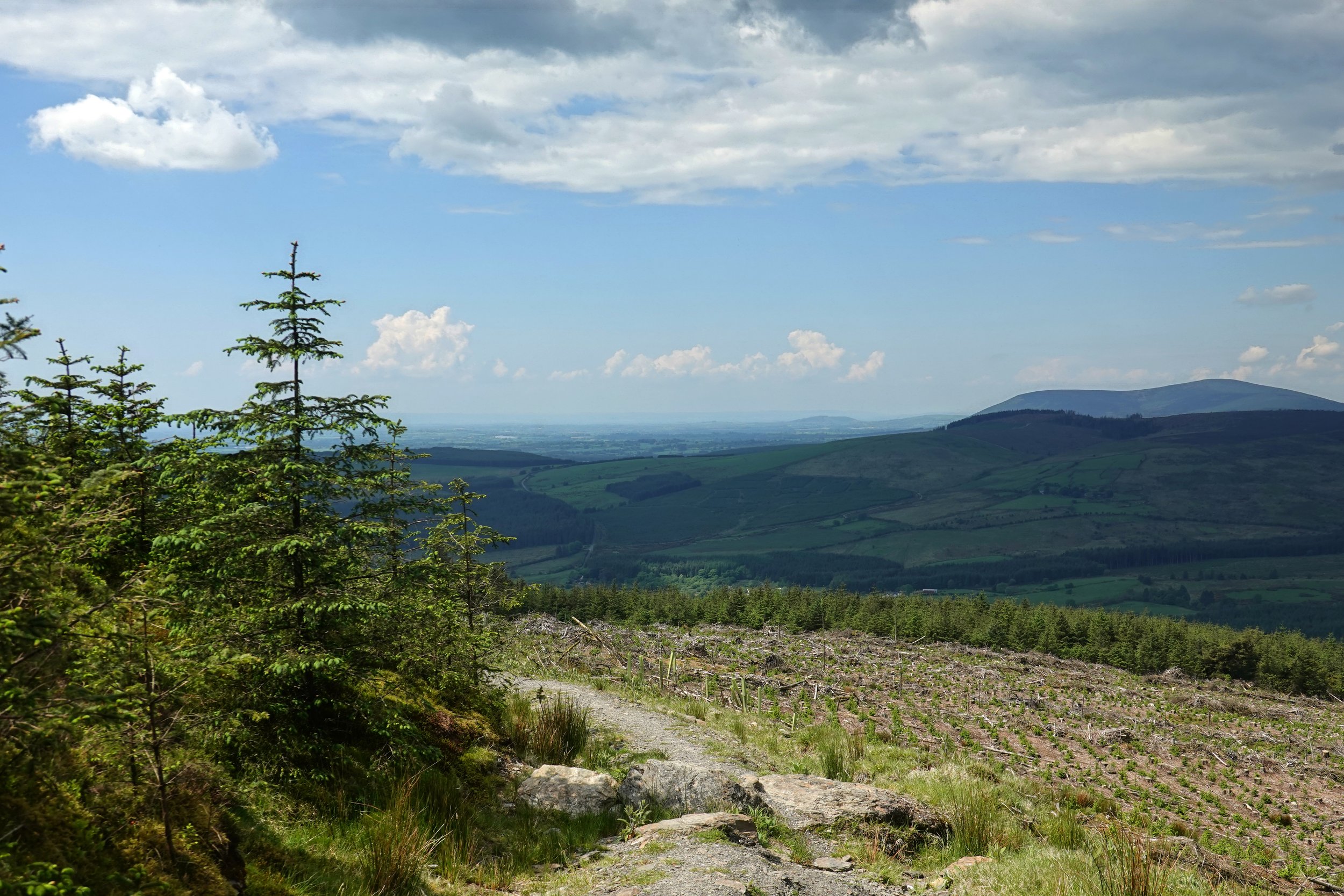
KM 74.0, Ballygobban Hill
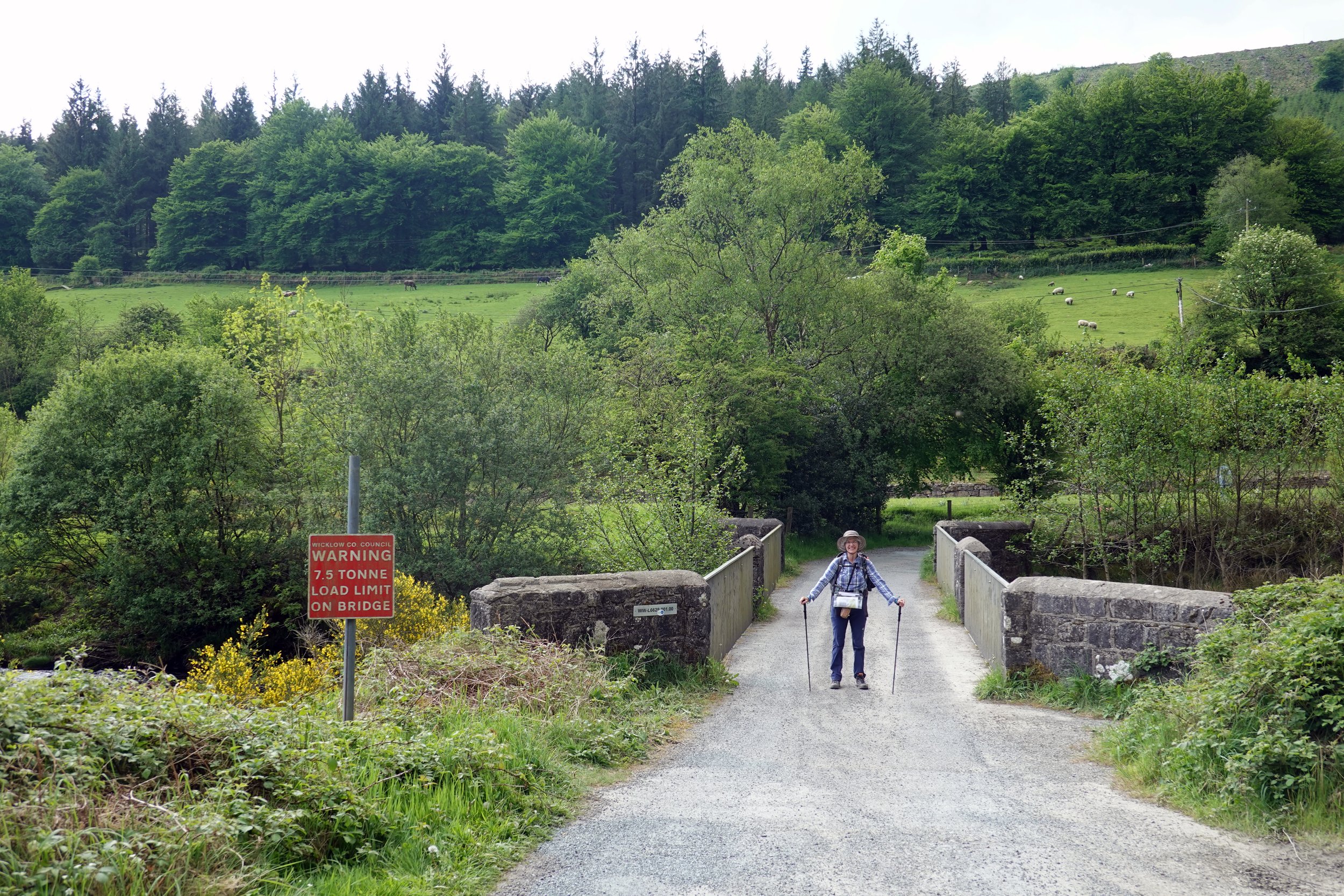
KM 76.9, Iron Bridge
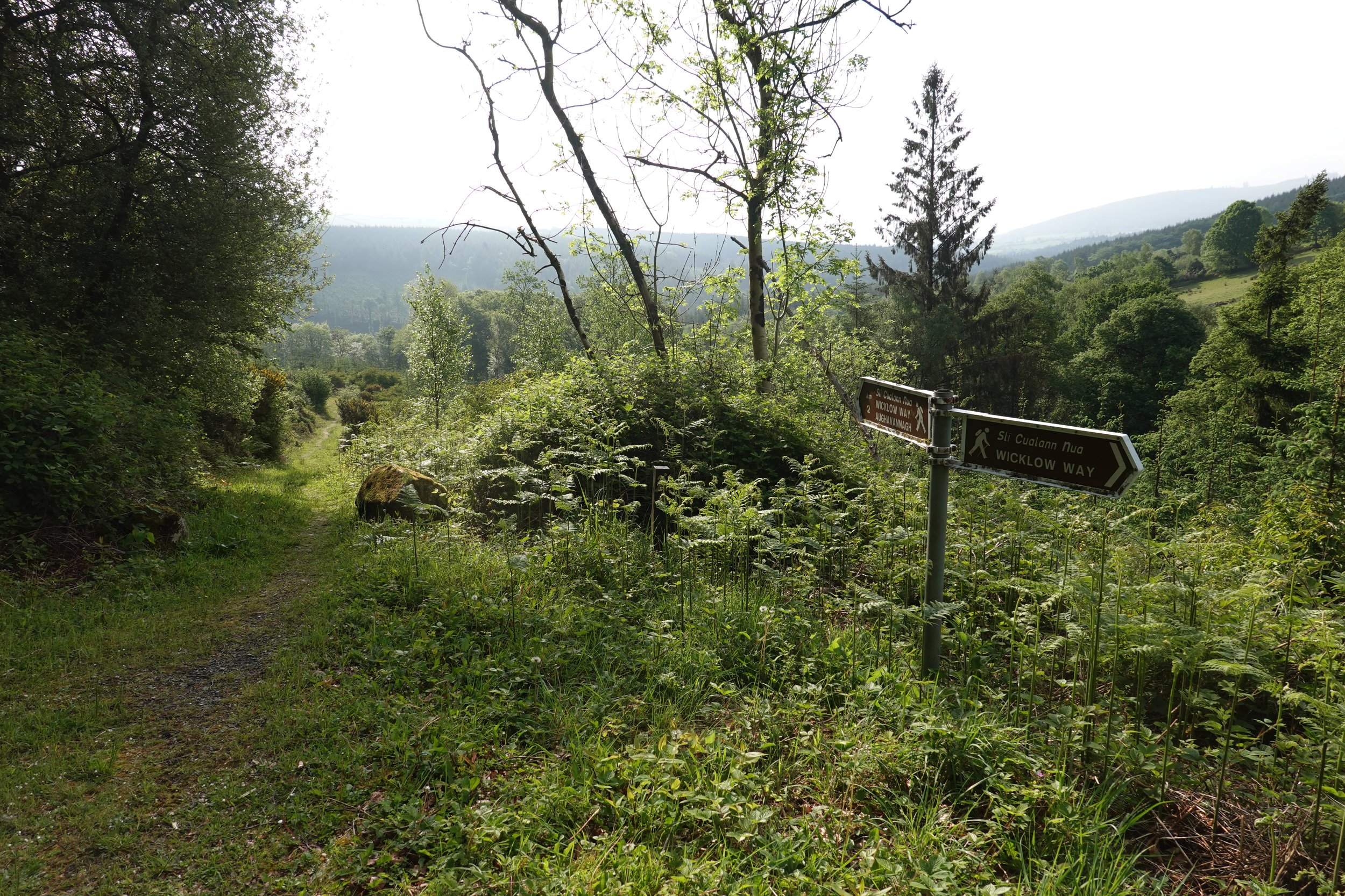
KM 78.9, east of Ballyteige Bridge

KM 83.3, Knocknashamroge
KM 84.4, Ballymaghroe
KM 88.7, Ballycumber North

KM 91.0, Rath
KM 93.0, Below Garryhoe
KM 93.3, Tinahely
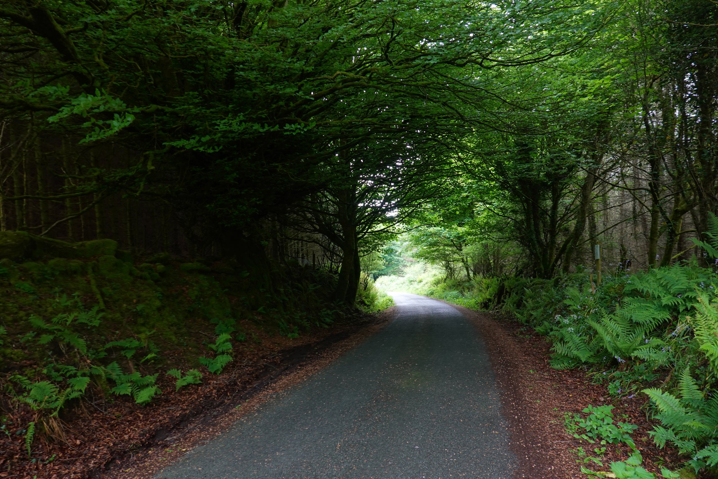
KM 94.5, Mangan's Wood

KM 97.2, west of Road R747

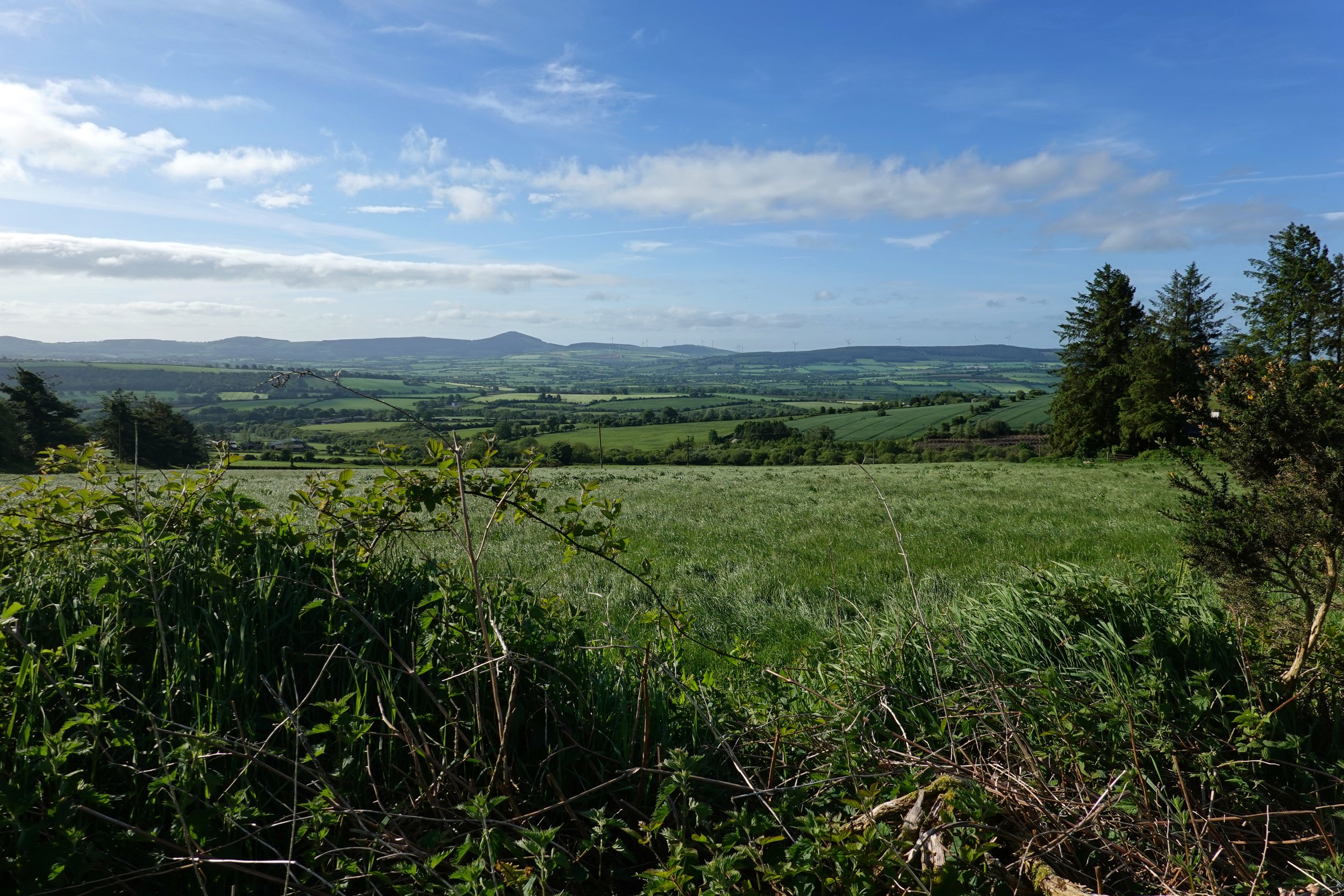
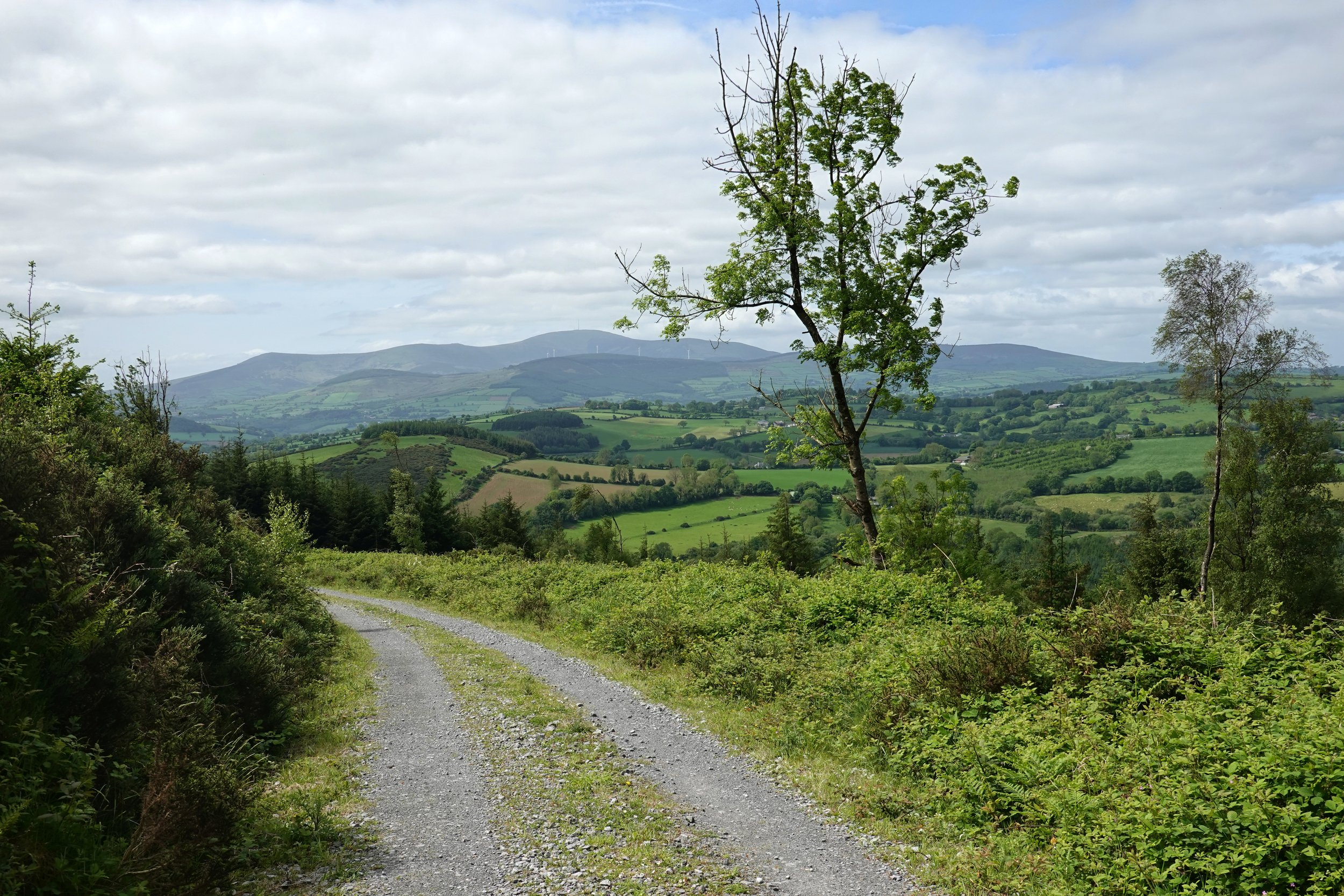
KM 99.5, Looking Off to Raheenteige
KM 107.2, Below Lakeen

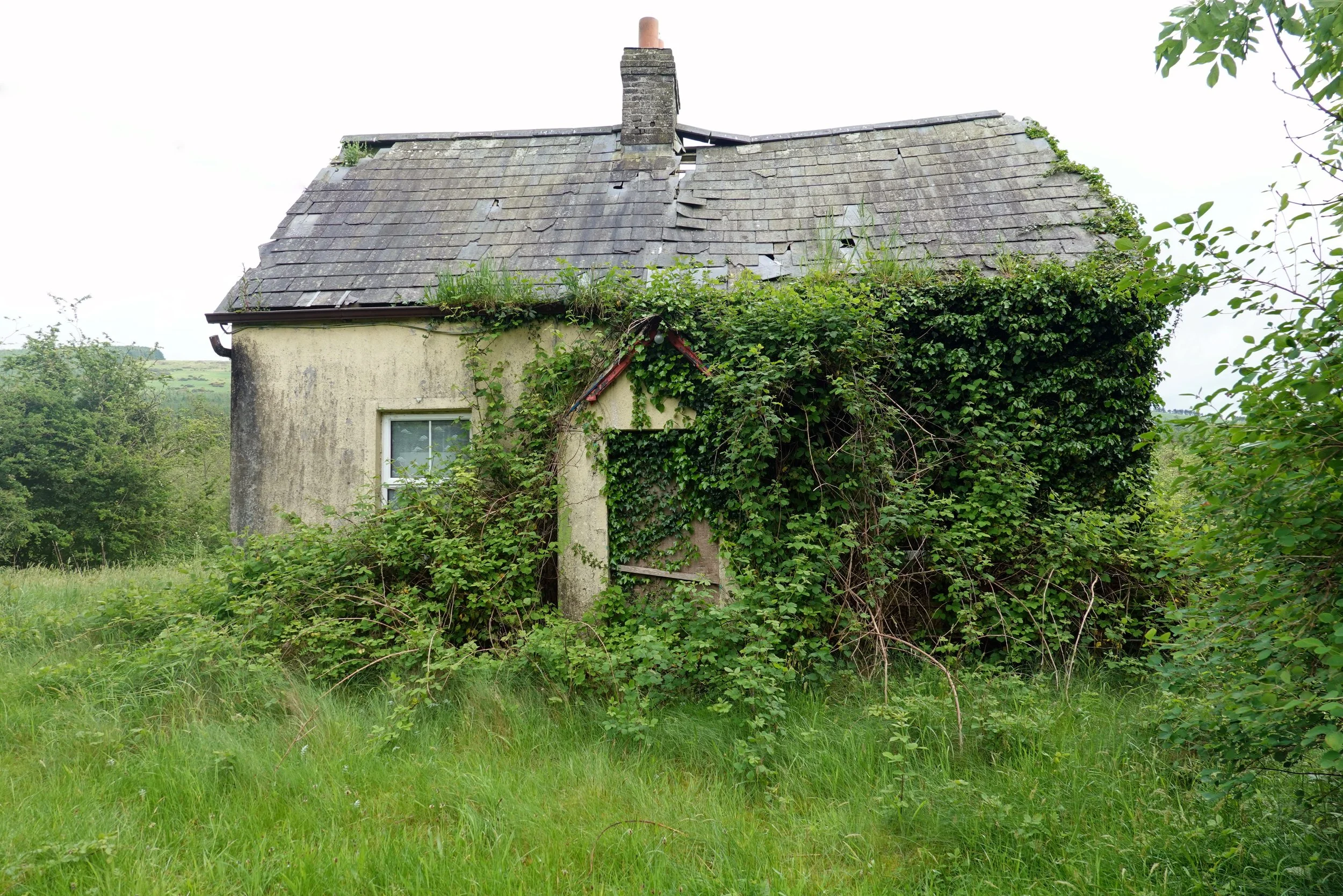
KM 107.8, Last Gate Before Road L252
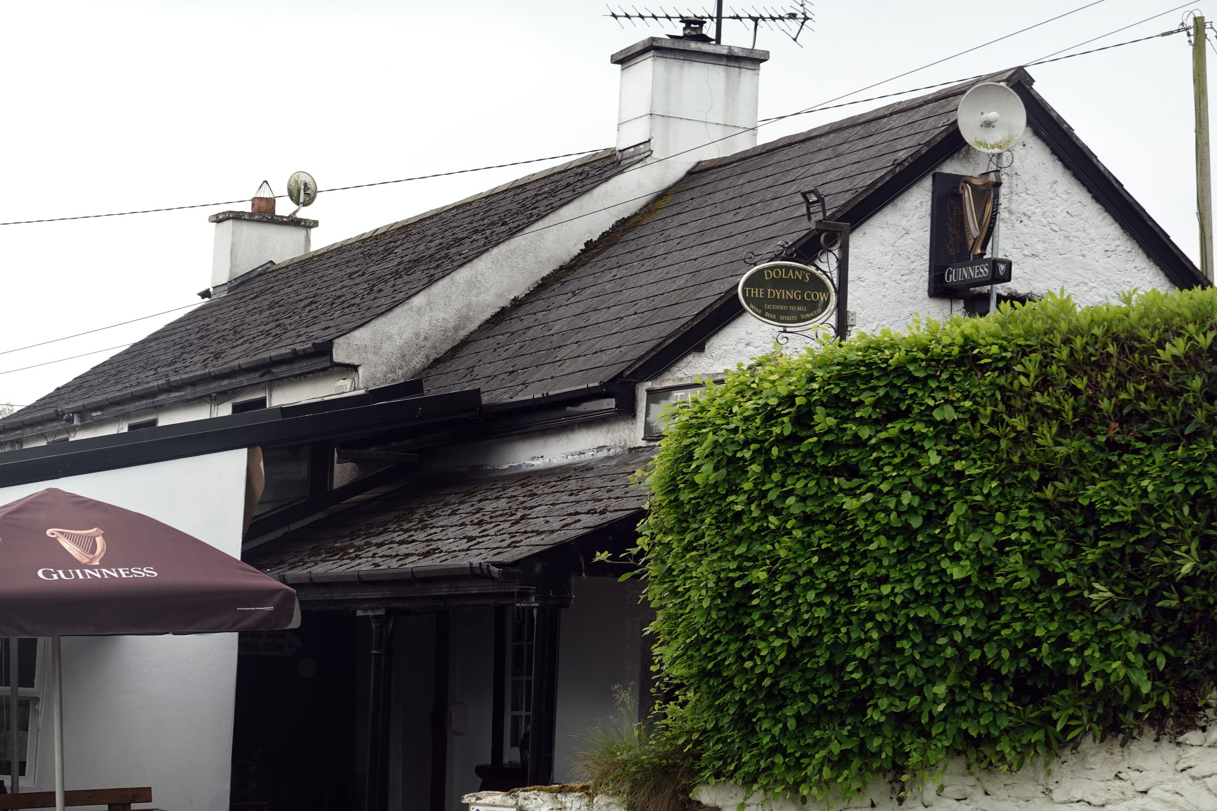
KM 104.4, Dolan's Dying Cow Pub
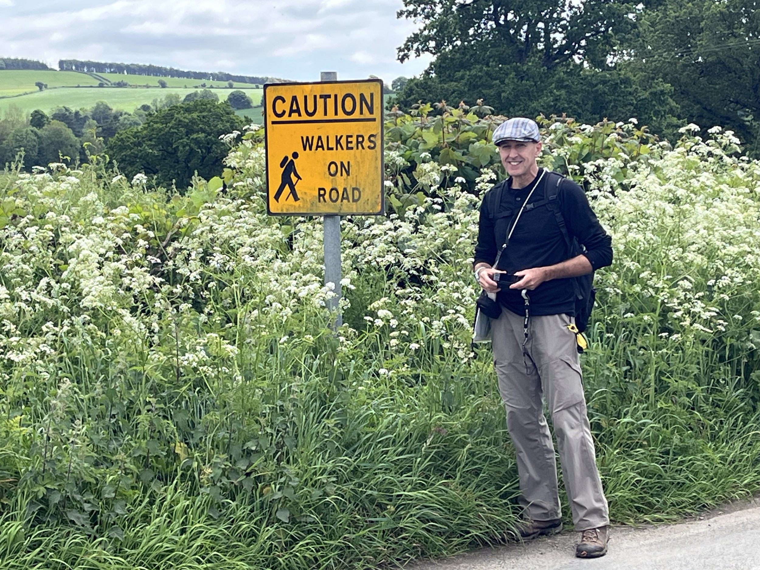
KM 108.2, Along Road R252

KM 104.6, West of Dolan's Dying Cow Pub

KM 112.4, Steep Climb to Raheenakit
KM 113.1, Raheenakit
KM 123.8, At the Top of Urelands Hill
KM 125.0, Descending Urelands Hill
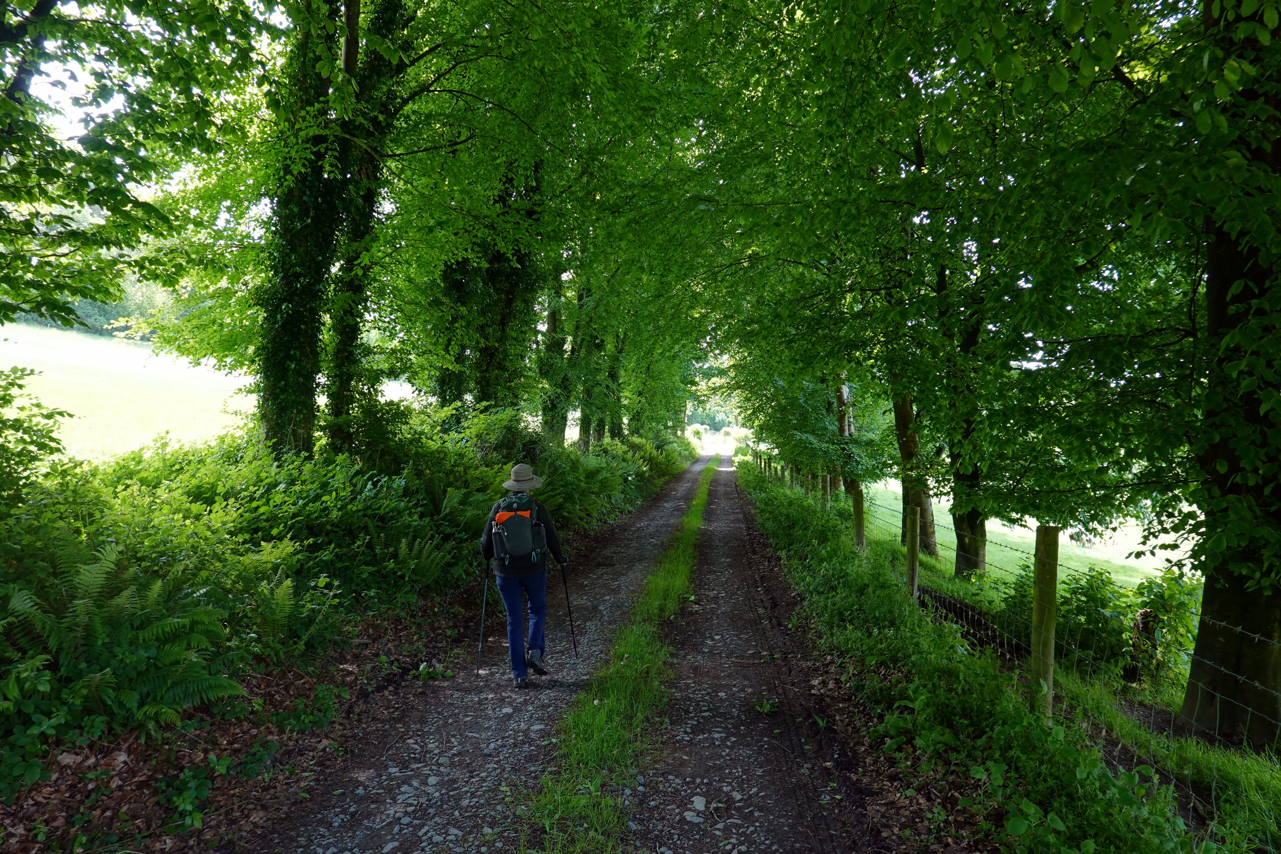
KM 127.4, Along Road L6049
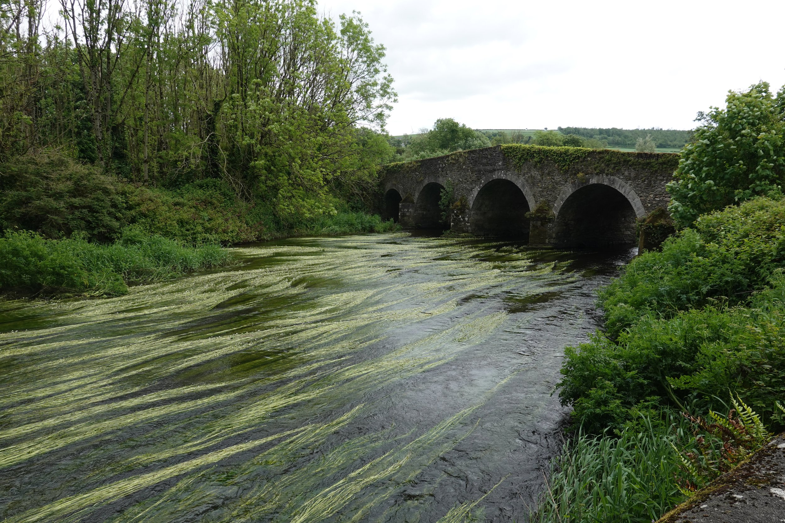
KM 130.0, Clonegal Bridge, Derry River